You want to know exactly? No compromises in the accuracy of the localization of equipped vehicles and assets, seamlessly indoors and outdoors – That’s LYVE!
LYVE – Localize Your Vehicle
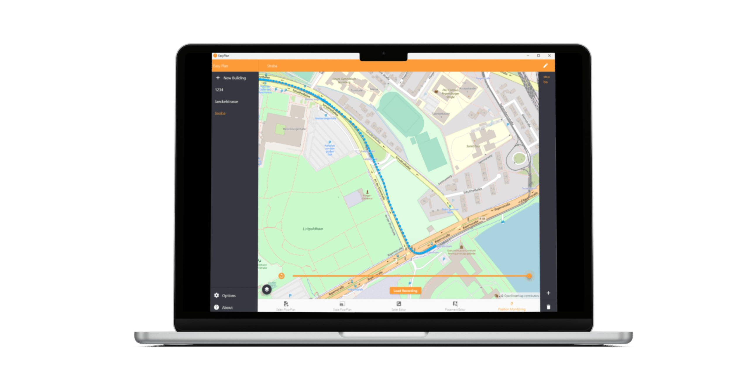
LYVE is an open high-precision client based localization solution for vehicles and powered assets in depots, areas with limited satellite visibility (e.g. stations, tunnels) and daily operations – seamless indoor & outdoor positioning in the sub-meter range using in-vehicle sensor fusion.

LYVE consists of infrastructure components and equipment installed in the vehicle and combines the positioning technologies GNSS / RTK (real-time kinematics) and UWB (ultra-wide band) in one solution. LYVE consistently follows the approach of position calculation in the moving asset. This eliminates the need for complex and costly localization servers on the land side.
The tracelets installed in the vehicle determine the position using the best currently available positioning technology (GNSS / RTK in outdoor areas, UWB in areas with limited satellite visibility), while the so-called UWB satlets are installed on the landside in restricted areas. These do not require any further network infrastructure as they synchronize via the UWB radio channel. On the land side, communication infrastructure (WLAN) and management / monitoring equipment (e.g. our ModuCop) will be added if necessary.
Client Based Positioning
Each vehicle calculates its own position, allowing any edge application to be upgraded with sub-meter location accuracy.
Minimal Infrastructure Costs
No localization infrastructure required outdoors. No network infrastructure required indoors ⇒ Minimization of costs.
Sensor Data Fusion
Position estimations even with limitations of signal reception (dead reckoning)
Flexible Connectivity
Flexible communication of the position to the landside or to systems inside the vehicle.
Configuration
Initial provisioning via USB console; Full configurability via Ethernet & WLAN
Monitoring
Remote monitoring allows transparency about the currently used location technology, quality of position and its accuracy.
Sensor Data Fusion
Our tracelets combine different technologies in a so-called sensor data fusion for seamless high-precision localization.
- GNSS real-time kinematic for highly precise localization in outdoor areas
- Correction data from local reference stations or via services of the national surveying offices
- UWB – Ultra Wide Band for high precision localization indoors or areas with limited satellite visibility.
- Wheeltick counter for detection of direction, driven distance and velocity validation
- IMU – Inertial Measurement Unit for smoothing during technology changes from GPS to UWB, position plausibility, direction detection and dead reckoning
The fusion of these sensor inputs is done in the on-board tracelet and thus offers high integration depth with low space requirements and low power consumption.

LYVE Vehicle Components
LTR01 – RTK/UWB Lokalisierung (WLAN)
The LTR01 is the autonomous vehicle component (tracelet) of our LYVE localization solution. Using sensor data fusion, the LTR01 enables high-precision self-positioning in buses and trams with just one tracelet per vehicle. The LTR01 transmits position information to the infrastructure or vehicle-internal computers via Wi-Fi.
Product Features:
- Onboard position calculation < 1m accuracy
- UWB receiver IEEE 802.15.4-2015;
- GNSS/RTK multiband GNSS receiver
- Inertial Measurement Unit (IMU)
- Wheeltick counter according to IEC 16844-2
- Voltage input 9…36V DC (24V nom.); Ignition
- Monitoring and remote maintenance (e.g. OTA update of firmware)
- UN ECE R10 qualified (E-mark).

SIO04 – GNSS/RTK Localization for Rail
SIO04 has been developed to ensure track accurate positioning in rail transport. It is part of our LYVE localization solution and positions trains or trams with an accuracy of < 1 m using integrated sensor data fusion. SIO04 transmits position information to on-board computers via the integrated 100 Mbit/s Ethernet interface.
Product Features:
- Onboard position calculation < 1m accuracy
- GNSS/RTK multiband GNSS receiver
- Correction data via NTRIP Service
- Inertial Measurement Unit (IMU) using specific movement
model for rail vehicles - Odometer Input: Incremental / quadrature (single /
differential) - RS232 Interface for direct connection of speed sensor
- 100 Mbit/s Ethernet interface
- Wide Range PSU 24…110 DC (nom); Ignition
- Monitoring and remote maintenance (e.g. OTA update of firmware)
- EN 50155 qualified

LYVE Infrastructure Components
LYVE components in the infrastructure are only required for areas with limited satellite visibility. The selection and number of infrastructure components strongly depends on the locating area and condition (e.g. shading) and is finalized in the planning of an installation. The following components are offered by Ci4Rail:
UWB Satlets
IP65 satlels synchronizing via UWB radio for land-side areas with limited satellite visibility
WLAN Access Point
WLAN infrastructure for reception of positioning information from vehicles
Edge Computer
Central device management of satlets, tracelets, WLAN infrastructure and opt. local reference station
UWB Monitor
Monitoring, diagnostics and updates for up to 30 satlets per satlet monitor
WLAN Controller
WLAN infrastructure management, diagnostics and updates; once per location area
opt. GNSS Reference Station
Local GNSS reference station for correction data to support RTK positioning. (Optional)